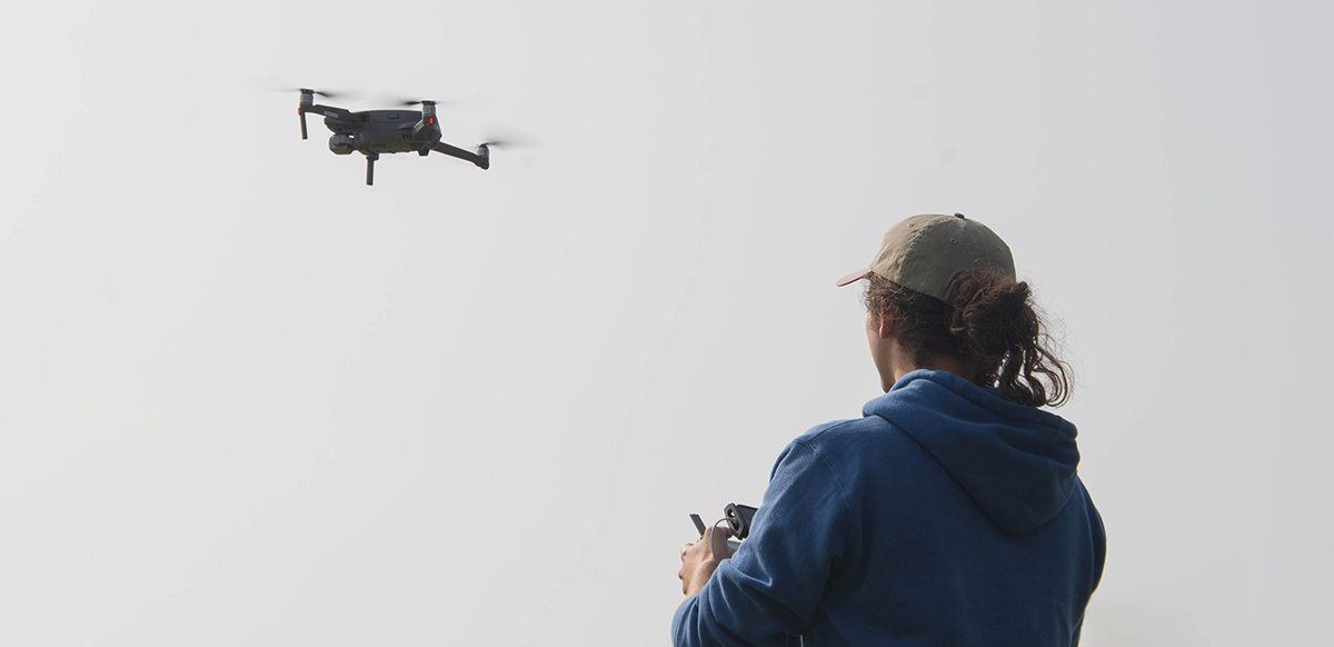
Cole Burchiel came to Baykeeper after spending time as a park ranger in Vermont; he was hiking the Appalachian trail when he got the call to interview. Now Cole manages Baykeeper’s signature Bay patrols, as well as our volunteer programs, scientific support for our legal team, and our Pollution Hotline—and he’s also a licensed drone pilot.
Baykeeper’s patrols have expanded considerably since the organization’s early days. In addition to the boat, Cole maintains our partnerships with the aviation conservation organization Lighthawk and with Autonomous Imagery Drones, which give us the ability to keep an eye on the Bay from above.
By plane, you can see the whole Bay at once, and it’s really the only way to see the full extent of an oil spill or an algae bloom. As Cole observed, “Because the Bay has so many diverse microclimates and ecosystems, you’re being transported into many different worlds at one glance. It’s especially amazing to look down and see whales, dolphins, seals, and all the other life the Bay supports, but you also see the residual effects of careless polluters and the harm they cause to the Bay.”
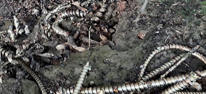
With the drone, we can see over the visual barrier walls that some companies have put up to keep us from seeing what’s going on from ground level, like at the Levin coal terminal in Richmond. Baykeeper can now see if individual storm drains are blocked, which could cause dangerous runoff during a heavy rain, or if tire tracks from Levin’s coal piles are carrying coal dust dangerously close to the Bay.
The boat lets us see the effects of pollution close up, and it’s the best way for Baykeeper’s scientists to take pollution samples from remote spots on the Bay.
During the pandemic shutdown, Baykeeper has dramatically increased drone patrols. Our partners at Autonomous Imagery didn’t want anything to stop Baykeeper from finding sources of pollution, so they gifted us a drone of our own—and we’ve named the drone Osprey, because she has a bird’s eye view of the Bay.
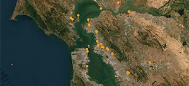
Osprey is equipped with a high resolution camera that takes overlapping aerial images and pieces them together into a map. It’s like what you see on Google Earth, only more detailed. With this technology, it’s even possible to identify the conditions that cause toxic algal blooms before they happen, which can take Baykeeper into new realms of pollution prevention.
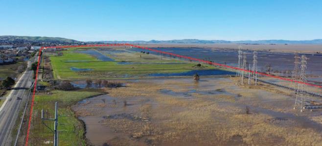
Now, Baykeeper is using cutting edge technology both to stop polluters and to help the Bay Area prepare for climate-driven sea level rise.
Baykeeper has all the right tools for the job. And for the good of the Bay and its surrounding communities, they’re always at hand.