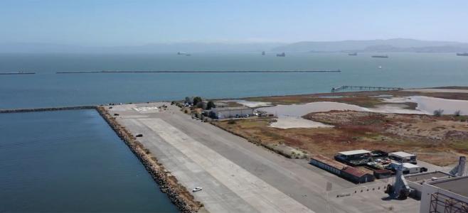
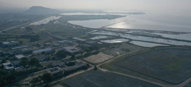
Baykeeper will soon launch a new project to document and photograph the San Francisco Bay shoreline by boat. Our goal is to provide information that can be used to improve protection for the Bay from pollution and sea level rise.
We will use innovative technology to publish an online “Street View” shoreline map. This will give the public and community groups a way to see close-up views of shoreline that are visible now only from a boat.
The project is being made possible in part by a $100,000 grant awarded by Google’s Bay Area Impact Challenge. Baykeeper is one of 25 nonprofits selected for funding in a competitive process where local nonprofits submitted innovative ideas for making their communities better.
Baykeeper will document the shoreline from our motorized patrol boat and also by kayak. We’ll invite key leaders from cities and counties bordering the Bay to join us on these boat patrols, including elected officials, government agency planners, and members of shoreline protection and community activist groups. Shoreline features we will map include industrial sites, wastewater treatment plants, abandoned boats and piers, wetlands, beaches, and recreational sites.
As we publish our shoreline maps, Baykeeper will use the information they provide in advocacy efforts to improve protections for vulnerable shoreline areas, including those bordering low-income communities and recreational sites. Community groups will also be able to use the information in their own advocacy efforts for stronger protections for their local Bay shores. City and county governments will be able to use the maps to implement better shoreline planning.
We hope these innovative maps will empower a wide range of Bay Area community members to get involved in protecting San Francisco Bay from pollution and sea level rise.