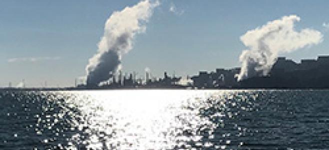
A human-made island, at sea level, surrounded by San Francisco Bay, Alameda faces an unusually high risk from sea level rise.
In the coming decades, sea levels around the Bay will rise by at least 2 feet. And new research from UC Berkeley shows that rising groundwater tables may cause flooding around the Bay Area even sooner. As a result, much of Alameda could end up underwater.
But that doesn’t mean the Island City is doomed to sink under the waves like a modern Atlantis. There’s a lot Alameda can do now to become more resilient to rising waters.
In fact, the city has already starting taking steps in that direction. Its latest effort began last year as city officials started drafting long-term goals in the form of Alameda’s 2040 General Plan, which serves as blueprint for future development and conservation (California law requires cities and counties to adopt and periodically update General Plans to allow for projected population growth).
Planning for sea level rise and other effects of climate change takes a deep understanding of the Bay's ecosystem and geography—and that's Baykeeper's specialty. Our staff reached out to city officials to provide specific suggestions for protecting the island and its inhabitants from impending sea level rise.
And Alameda listened. The city incorporated many of Baykeeper’s recommendations into their newly released General Plan, including:
- Incorporating precise scientific projections of sea level rise into development planning.
- Mapping and prioritizing the cleanup of toxic sites vulnerable to waters rising from below.
- Investing in green infrastructure to protect stormwater systems and improve flood water management.
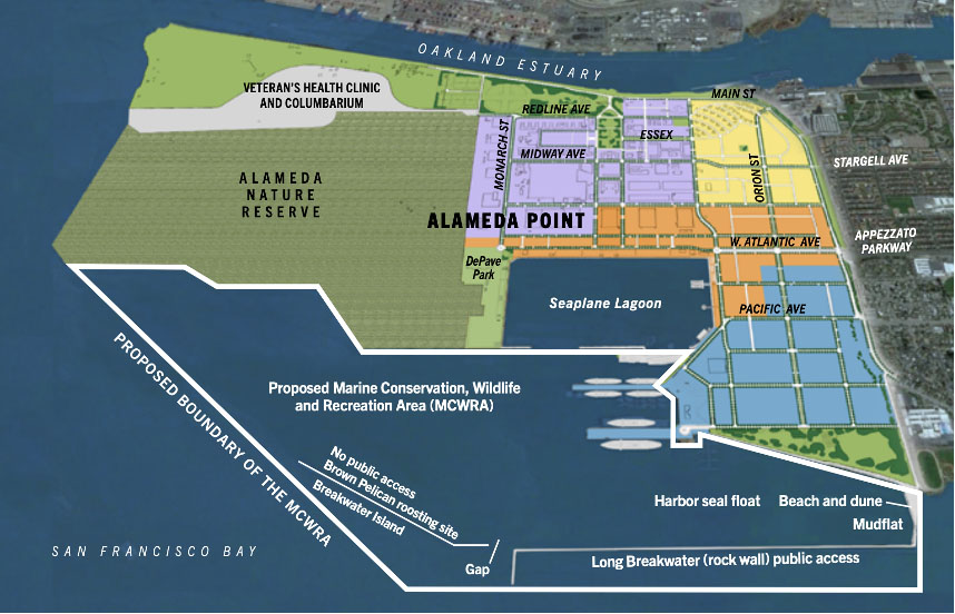
- Protecting open space along the shoreline as a flood buffer, including the proposed Alameda Nature Preserve (map below).
- Assessing risks posed by proposed seawalls, if necessary, which can amplify the effects of sea level rise on surrounding communities.
Baykeeper’s advocacy in Alameda is part of a broader effort to persuade Bay Area cities to take the threats of sea level rise and groundwater rise seriously. Alameda isn’t the only city in the Bay Area with toxic sites and shoreline infrastructure vulnerable to flooding. In fact, many Bay Area cities are facing similar, urgent threats. That’s why Alameda deserves a lot of credit for kickstarting this process—and we’re here to encourage Alamedans as they turn their newly adopted General Plan into reality and set an example for cities around the Bay!
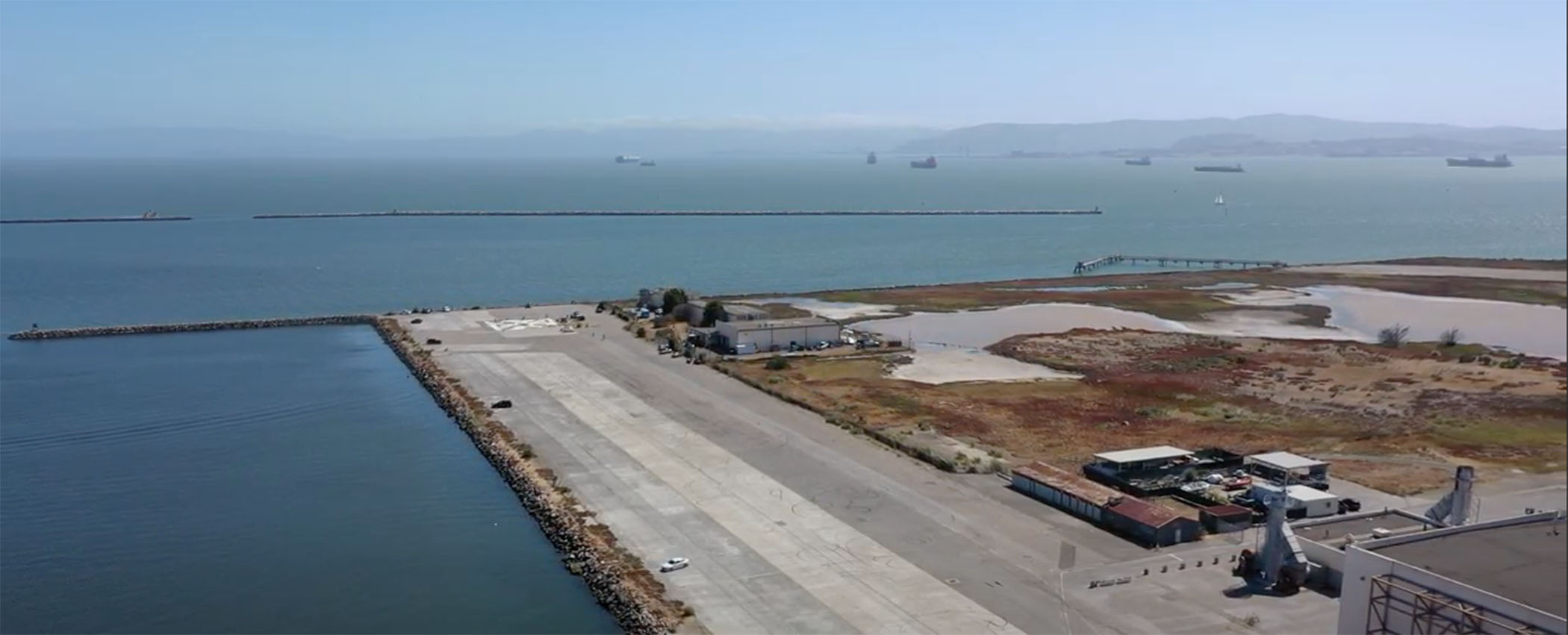
Pictured, above: Baykeeper drone footage of the Bay shoreline along Alameda's former Naval Air base.