Baykeeper is creating a new tool to help protect the San Francisco Bay shoreline from sea level rise, the San Francisco Bay Shore View Project.
Watch the ABC 7 news piece here: http://abc7news.com/science/google-working-to-map-san-francisco-bay/515645/
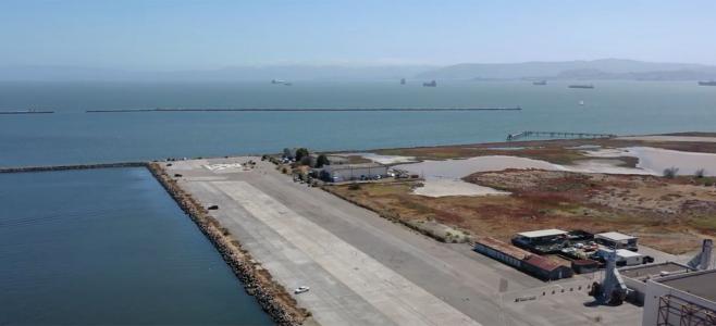
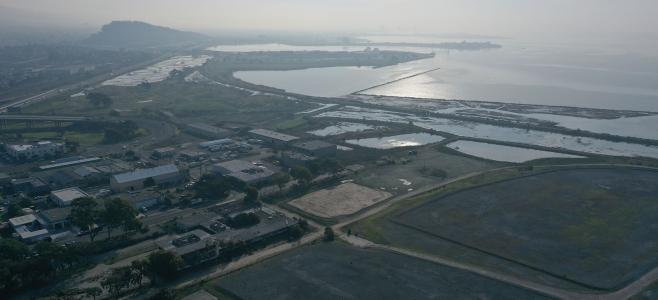
As global climate change causes sea levels to rise, San Francisco Bay shorelines are at greater risk of flooding and increased risk of contamination due to water levels reaching more pollution sources. Because too much of the Bay’s shoreline is inaccessible from land and can only be seen from the water, there is currently not enough information to know the exact risks.
Baykeeper is photographing the entire San Francisco Bay shoreline from our motorized patrol boat, using a remote-controlled boat mounted with a Google Trekker camera. We will use the photos to create the San Francisco Bay Shore View, a complete set of “Street View” images of the San Francisco Bay shoreline.
The San Francisco Bay Shore View images will be available to the public, and we hope they will foster closer connections between the public and the Bay and its shoreline. The Shore View Project will allow viewers to visualize threats to the ecosystem and infrastructure associated with sea level rise, industrialization, development, and habitat loss. Baykeeper will use the San Francisco Bay Shore View Project in our work to defend San Francisco Bay from pollution. It will also be a tool that Bay Area residents, city planners, and community organizations can use to advocate for better protections for the shoreline adjoining their communities, and to advocate against unwise shoreline development.
The San Francisco Bay Shore View Project is funded with a grant from Google, and Baykeeper is utilizing equipment loaned by Google, including a 16-foot remote-controlled boat manufactured by a local company and Google Trekker cameras.


