AN URBAN ESTUARY WITH RICH RESOURCES TO CONSERVE
Imagery captured using Baykeeper's boat mounted with a Google trekker camera
How will Sea Level Rise Impact the Shoreline of San Francisco Bay?
Learn about the current status of sea level rise in California and explore the consequences of flooding, in terms of economic losses and pollution.


CONSERVATIVE ESTIMATE OF SEA LEVEL RISE BY 2100
ESTIMATED STRUCTURAL & CONTENT FLOOD LOSS IN100 YEAR STORM + 3FT SEA LEVEL RISE
HOMES & BUSINESSES EXPECTED TO FLOOD IN100 YEAR STORM + 3FT SEA LEVEL RISE
CONTAMINATED SITES EXPECTED TO FLOOD IN100 YEAR STORM + 3FT SEA LEVEL RISE
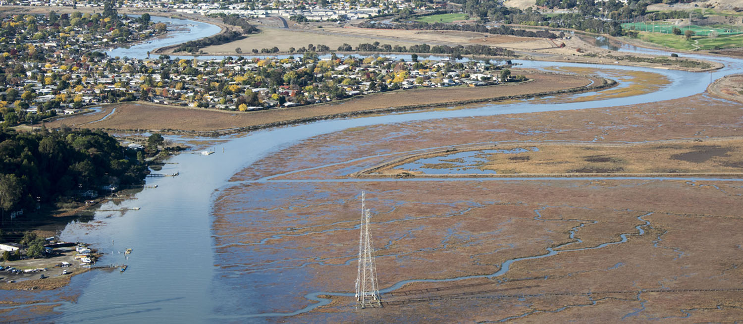
EXPLORE THE SHORE FROM THE AIR
Explore video footage capturing points along the shoreline.
About this Project
This ShoreView project was developed by San Francisco Baykeeper, with support from Google's Impact Challenge program, to foster greater connection with the Bay and enable exploration of typically overlooked parts of the Bay. We used StreetView technology mounted on an unmanned inflatable catamaran, locally manufactured by Marine Advanced Research, to capture imagery of the Bay shoreline. We use this, along with other data, to explore the risks and opportunities of sea level rise adaptation, and help shape a more sustainable Bay Area and a healthier Bay.